


7 km | 8 km-effort

Gebruiker


Gratisgps-wandelapplicatie
 SityTrail
IGN / Geografische instituten
SityTrail World
De wereld gaat voor u open
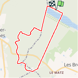
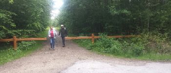
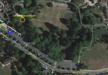
Tocht Stappen van 8,3 km beschikbaar op Île-de-France, Yvelines, Les Bréviaires. Deze tocht wordt voorgesteld door microb.
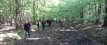
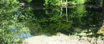
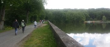
Des Etangs de Hollande aux mares de Vilpert


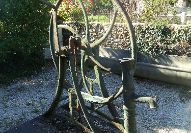
Stappen
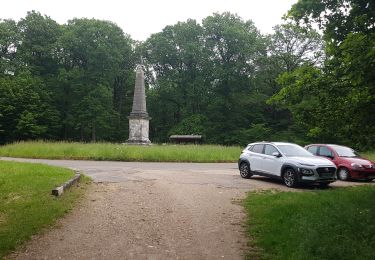
Stappen
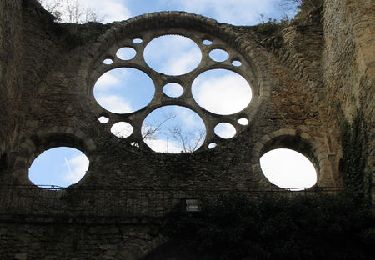
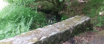
Stappen

Stappen
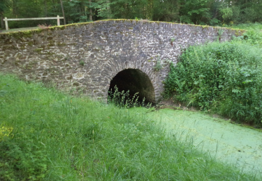
Stappen
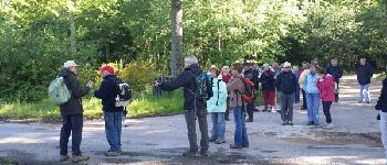
![Tocht Stappen Montfort-l'Amaury - Yvelines_[Rando_Journée]_Montfort=>Les Mesnuls=>Autour_de_Montfort - Tronçon 1 - Photo](https://media.geolcdn.com/t/375/260/ext.jpg?maxdim=2&url=https%3A%2F%2Fmedia.geolcdn.com%2Ff%2F9a77b4d0-afa4-42cb-beea-4a17fa8cb8c3.jpg)
Stappen
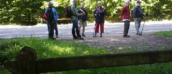
![Tocht Stappen Montfort-l'Amaury - Yvelines_[Rando_Journée]_Montfort=>Les Mesnuls=>Autour_de_Montfort - Tronçon 2 - Photo](https://media.geolcdn.com/t/375/260/ext.jpg?maxdim=2&url=https%3A%2F%2Fmedia.geolcdn.com%2Ff%2F3a031c20-1fc4-4232-b97e-93470db48f02.jpg)
Stappen
Stappen

Stappen